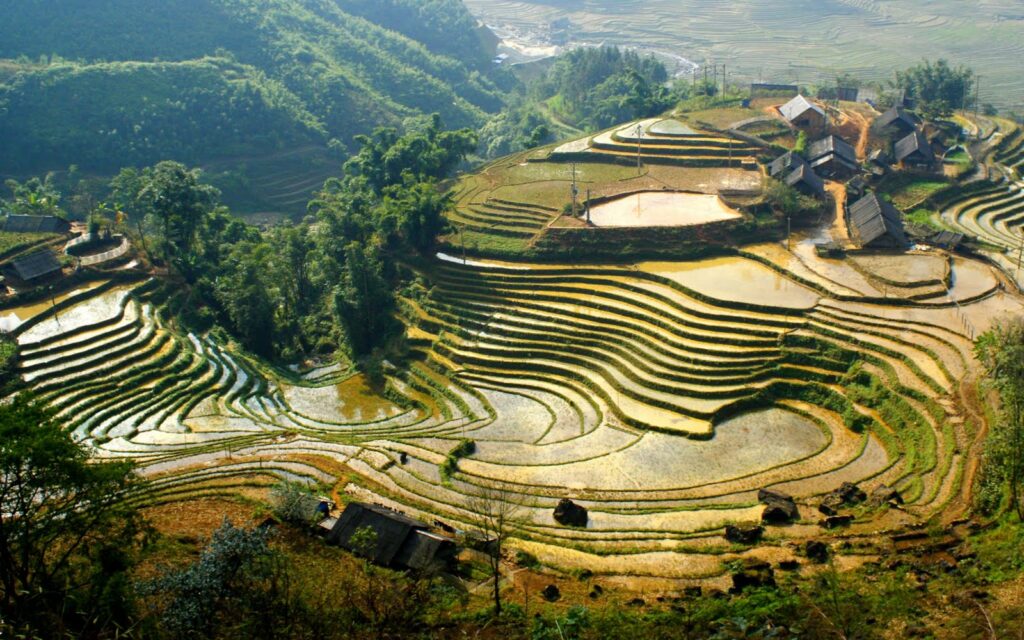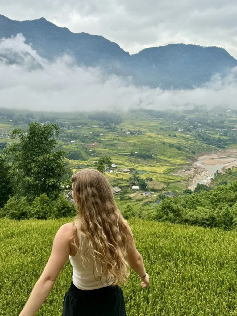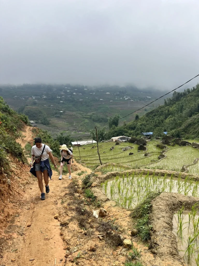
Sa Pa, located in the northern highlands of Vietnam, is renowned for its stunning natural beauty, rich cultural diversity, and challenging trekking routes. Whether you’re an experienced hiker or a beginner looking for a scenic walk, Sa Pa offers a variety of trekking trails that wind through lush rice terraces, dense forests, and small ethnic villages. This guide will provide a detailed overview of the best trekking routes in Sa Pa, tips for preparation, and how to use a trekking map to navigate these breathtaking landscapes.
Why Sa Pa is a Trekker’s Paradise
Sa Pa’s unique combination of dramatic mountain views, terraced rice paddies, and a blend of Vietnamese and ethnic Hmong, Dao, and Tay cultures make it one of Vietnam’s top trekking destinations. Located near the border of China, the region is often shrouded in mist, adding an air of mystery to the rolling hills and valleys.
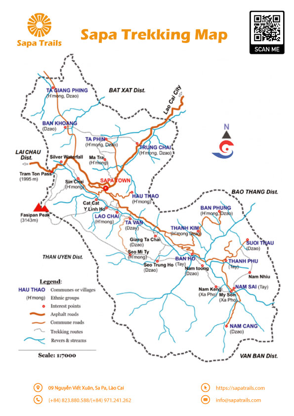
The best way to explore Sa Pa is on foot, and a good trekking map is essential for navigating the region’s complex network of paths. Having a detailed map not only helps you stay on track but also ensures that you can discover the most scenic routes, hidden waterfalls, and remote villages. Here are some of the most popular trekking routes in Sa Pa that every visitor should consider.


Choose your trek
1. Muong Hoa Valley Trek
The Muong Hoa Valley is one of the most famous trekking routes in Sa Pa and is ideal for both novice and experienced trekkers. The trail begins in Sa Pa town and winds through terraced rice paddies, bamboo forests, and several small ethnic villages. The valley is home to the Black Hmong and Red Dao tribes, and along the way, you’ll have the opportunity to interact with locals, learn about their culture, and observe traditional farming practices.
- Distance: 12 km (7.5 miles)
- Duration: 4-5 hours
- Difficulty Level: Easy to Moderate
- Key Highlights: Terraced rice fields, ethnic villages (Lao Chai, Ta Van), Muong Hoa River
This route is often featured on trekking maps as a beginner-friendly trail, but don’t let that fool you — the views are as rewarding as they come. You can follow the well-marked trails on your map and even add side trips to local homestays if you want to experience village life more intimately.
2. Fansipan Peak (Mount Fansipan) Trek
Known as the “Roof of Indochina,” Fansipan Peak is the highest mountain in Vietnam, standing at 3,143 meters (10,312 feet) above sea level. The trek to Fansipan is physically demanding and is recommended for experienced hikers. A detailed trekking map is crucial for navigating the steep and rugged terrain, as well as identifying rest stops and campsites.
- Distance: 19 km (12 miles) one way
- Duration: 2-3 days
- Difficulty Level: Difficult
- Key Highlights: Stunning mountain views, Fansipan cable car (optional for descent), overnight camping
The Fansipan trek is not for the faint-hearted, but the sense of accomplishment and the panoramic views from the summit make it worth the effort. You’ll be able to see a map of the entire route, which includes sections of dense jungle, exposed ridgelines, and rocky outcrops. Be sure to plan your route carefully and check weather conditions before attempting the trek.
3. Cat Cat Village Trek
For a short and easy trek that offers a glimpse into the life of the Black Hmong people, the Cat Cat Village trek is perfect. This route is relatively short and begins just outside of Sa Pa town, descending into the picturesque village. Along the way, you’ll pass by scenic waterfalls and the Cat Cat hydropower station, a remnant of the French colonial period.
- Distance: 4 km (2.5 miles)
- Duration: 2-3 hours
- Difficulty Level: Easy
- Key Highlights: Ethnic culture, traditional handicrafts, waterfalls
Though short, this trek offers some great photo opportunities, and you can easily follow the path on any standard trekking map. After visiting the village, you can loop back to Sa Pa or extend your trek further into the surrounding hills.
4. Ta Phin Village Trek
The trek to Ta Phin village is another popular route for those interested in cultural immersion. This trail passes through lush valleys and green fields, eventually reaching Ta Phin, home to the Red Dao people. Known for their traditional herbal baths and beautiful textiles, the Red Dao offer a unique cultural experience for trekkers.
- Distance: 10 km (6.2 miles)
- Duration: 4-5 hours
- Difficulty Level: Moderate
- Key Highlights: Red Dao culture, Ta Phin Cave, herbal baths
Trekking maps are especially useful on this route, as the paths can become less defined in the more remote areas. The maps typically mark points of interest like caves and local shops where you can buy handwoven goods directly from the artisans.
5. Y Linh Ho Trek
For trekkers who want to experience the beauty of Sa Pa’s rice terraces without the crowds, the Y Linh Ho trek is a fantastic option. This trail leads you through stunning landscapes of terraced fields and rolling hills, with far fewer tourists than the Muong Hoa Valley trek.
- Distance: 9 km (5.6 miles)
- Duration: 3-4 hours
- Difficulty Level: Moderate
- Key Highlights: Quiet trails, local villages, rice terraces
Using a trekking map, you can navigate this off-the-beaten-path route, making stops in Y Linh Ho village to interact with the Black Hmong people and learn about their daily life.
How to Use a Sa Pa Trekking Map
A good trekking map will include all the essential information you need, such as trail difficulty, distance, elevation, and key landmarks. Most maps also indicate homestay locations, so you can plan overnight stays if your trek extends beyond a day. While many routes are well-marked, a map is invaluable for staying on course, especially if you’re venturing into more remote areas where signs may be scarce.
Look for maps that offer detailed topography, as Sa Pa’s trails often involve steep ascents and descents. Some maps are available online or can be purchased at local trekking shops in Sa Pa town.
Preparing for Your Trek in Sa Pa
Before setting out on any of these treks, it’s essential to prepare accordingly. Sa Pa’s weather can be unpredictable, especially during the rainy season, so pack waterproof clothing, sturdy trekking shoes, and plenty of water. A trekking map and a GPS device are highly recommended, especially for longer and more challenging routes like the Fansipan trek.
- Trekking permits: Certain treks, such as Fansipan Peak, require permits, which can be arranged through local tour operators.
- Guided vs. solo trekking: While some routes are manageable on your own with a map, others, such as Fansipan, are best tackled with a local guide.
- Best time to trek: The best time for trekking in Sa Pa is between September and November or March and May, when the weather is cooler and drier, and the rice terraces are either lush green or golden with ripening crops.

Conclusion
Trekking in Sa Pa offers a truly immersive experience in both nature and culture. With a reliable trekking map in hand, you can explore the region’s diverse landscapes and discover the hidden gems that make this area so special. From easy walks through rice paddies to conquering the summit of Fansipan, Sa Pa has something for every adventurer.
So, what are you waiting for? Lace up your boots, grab your map, and embark on an unforgettable journey through the mountains of Sa Pa!
